NCPLOT: Framing
From BAWiki
This page lists the ways of framing a layer offered by NCPLOT.
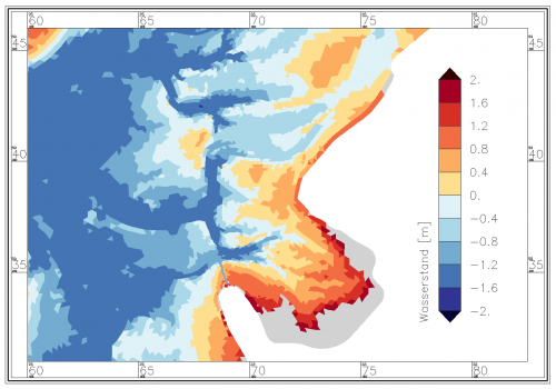
The type of framing a layer, for example a map, is requested in the corresponding "layer"-block of the control file NCPLOT.DAT through the KEY line "Layer_Framing" and its two input parameters.
The type of frame can be a simple black edging or a complex frame with coordinates.
The offered coordinate frames are optimized for values belonging to Gauss Krüger projection.
Gridlines can help with orientation in the map.
- Key Layer_Framing: Type of layer framing
- First parameter: Type of the frame
- NONE = no frame display
- Rechteck = Rectangular frame without labeling
- Standard = Rectangular frame with labeling bottom and left
- Schachlinie = Small alternating black and white rectangles with no label
- BSH = Like "Schachlinie" with labeling top, bottom, right and left
- BWK = Framing like the "Bundeswasserstrassenkarten" with labeling top, bottom, right and left
- Second parameter: Type of displaying the grid lines
- NONE = no grid lines
- ohne_Gitternetzlinien = no grid lines
- mit_x_Gitternetzlinien = only the grid lines along the x-axis are displayed
- mit_y_Gitternetzlinien = only the grid lines along the y-axis are displayed
- mit_xy_Gitternetzlinien = display the grid lines for both axes
| Frame type: Rechteck | Frame type: Standard |
|---|---|
 |
 |
| Frame type: Schachlinie | Frame type: BSH |
|---|---|
 |
 |
| Frame type: BWK | Frame with grid lines |
|---|---|
 |
 |
back to NCPLOT.DAT
