LQ2PRO: Plan View Visualization: Difference between revisions
From BAWiki
imported>Mueller-hagedorn No edit summary |
imported>BAWiki 1 No edit summary |
||
| Line 5: | Line 5: | ||
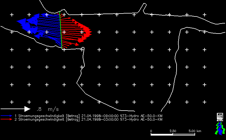
* '''Location of profile''': Cross sectional profile at Ems kilometer 50 | * '''Location of profile''': Cross sectional profile at Ems kilometer 50 | ||
* '''diagram''': absolute values and direction of currents at the same times as shown in the sample of an [[side view visualization]] | * '''diagram''': absolute values and direction of currents at the same times as shown in the sample of an [[side view visualization]] | ||
---- | |||
back to [[Tidal Characteristic Numbers of Water Level]] | |||
Revision as of 07:19, 25 May 2010

sample of a downview (D) graphical output, generated by program LQ2PRO
- Area Shown: Outer Ems and Dollart
- Location of profile: Cross sectional profile at Ems kilometer 50
- diagram: absolute values and direction of currents at the same times as shown in the sample of an side view visualization
